ONE TRAIL.
A THOUSAND
CONNECTIONS.
Across a landscape.
Between communities.
Through generations.
THE WAY
THROUGH.
Discover the landscapes, histories and people
of Alaska’s historic winter route.
What brings
you here?
A landscape.
More than
one way in.
The historic trail carries a story of winter travel, community connections and recreation. The season and the section make all the difference.
Walk into mountain country.
Selected routes in the Chugach, Girdwood and Eagle River offer summer walking opportunities. Much of the wider historic winter trail is not a summer hiking route.
Explore summer planning ↗A THOUSAND MILES.
COUNTLESS STORIES.
From Resurrection Bay to the Bering Sea, the trail changes character again and again. Follow six chapters of a connected landscape.
NOT A TRAVEL ITINERARY OR NAVIGATION MAP.
EVERY STORY
STARTS
SOMEWHERE.
Mile Zero.
A world ahead.
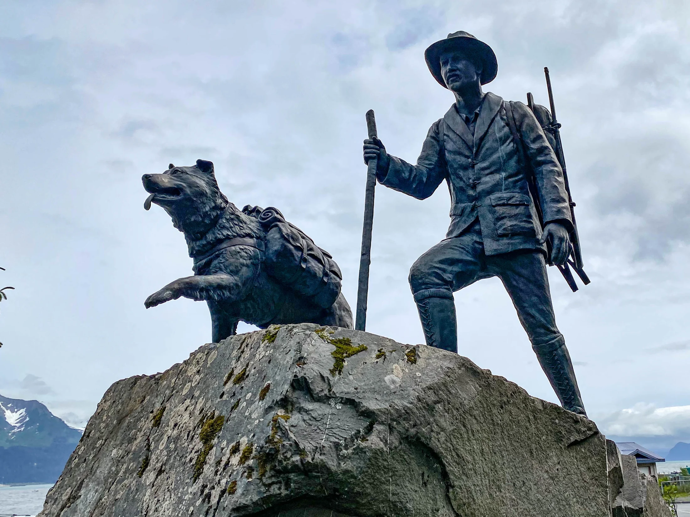
At Resurrection Bay, the trail meets the sea. Seward became a winter port for the Iditarod gold fields, sending people, mail and supplies inland.
Its place at the beginning of the national historic trail is still marked on the waterfront.
Discover Seward’s history ↗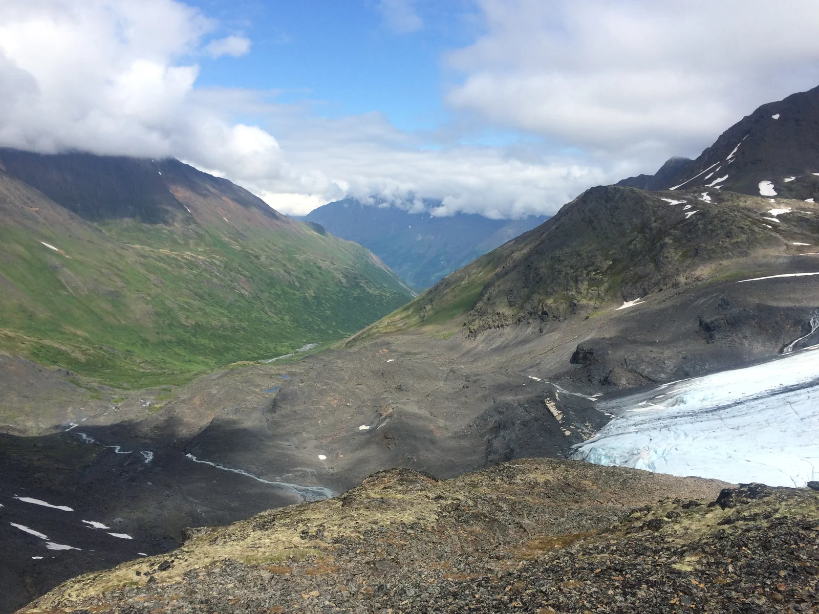
THE FILM Iditarod Historic Trail Alliance & Alaska State Parks
Landscape photograph: NPS, Alaska Region. The photograph is not a still from the film.
THE LAND
SETS
THE TERMS.
The historic route threads southcentral Alaska before crossing the Alaska Range. Rivers, valleys and passes shape the way through.
From the Susitna River, the winter route follows the Yentna and Skwentna country towards Happy River and Rainy Pass.
Read the Rainy Pass chapter ↗The historic trail is a network, with connecting routes and changing land ownership. These chapter markers show the broad sequence of places, not a current route to follow.
Start with a careful plan ↗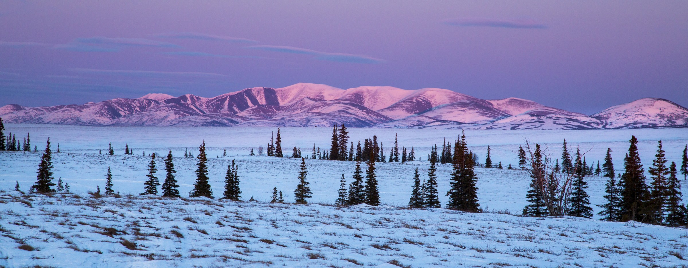 WINTER ON THE IDITAROD / BOB WICK, BLM · CC BY 2.0
ACROSS
THE INTERIOR.
THROUGH TIME.
Beyond the Alaska Range, the historic route reaches towards the Iditarod townsite and the Yukon River. Gold-rush traffic added new connections to older travel networks.
The trail’s history belongs to many voices. Explore the records, then listen to the people whose knowledge brings those places into focus.
A government survey helps establish the Seward–Nome route.
Congress designates the Iditarod National Historic Trail.
Communities, partners and volunteers continue its story.
FOLLOW THE LAND.
FIND THE STORY.
One more way to meet the trail. Keep scrolling to travel across Alaska, open a photo pin for its story, or explore the map in your own direction.
Seward
to Nome.
A thousand miles.
A thousand connections.
Continue to the portage ↓Plan a connection ↗An introduction to the historic route, from the sea to the interior and back again.
EDITORIAL OVERVIEW · NOT A NAVIGATION MAP
Markers indicate approximate locations. The historic route is distinct from current race routes and travel conditions.
INDEPENDENT DESIGN CONCEPT
Seward: The ocean opens the story.
Mile Zero begins at Resurrection Bay. Seward connected the winter trail with the sea, sending people, mail and supplies towards the interior gold fields.
Long before the gold rush, Alaska Native peoples travelled and traded across this landscape. The historic trail drew on those connections as Seward became a gateway to the interior.
Explore this place ↗Moose Pass: A lake, a railway, a trail.
Upper Trail Lake places Moose Pass between forested mountain slopes. The southern historic trail and Alaska Railroad connect this community with Seward.
The lake and nearby railway bridge offer two views of the southern corridor. Explore the community’s history before choosing a separate trail outing.
Explore this place ↗Girdwood: Into the mountain country.
Mining, railway connections and the Crow Creek landscape are woven into Girdwood’s history. Nearby Crow Pass offers another way to discover the southern historic trail.
The southern trail is a network of connections rather than one unchanging track. In summer, selected maintained sections bring the mountain landscape within reach; the wider winter route demands a very different kind of preparation.
Explore this place ↗Crow Pass Cabin: Small shelter. Vast country.
An A-frame cabin sits near Crow Pass, about 500 yards off the trail. The Crow Pass Trail follows part of the former Iditarod supply route.
The Forest Service’s reservation page describes seasonal access and avalanche concerns. The photograph shows the actual cabin beneath the surrounding mountains.
Explore this place ↗Knik Museum: A trailhead with a long memory.
Knik was a Native trade centre before the gold-rush town grew around it. The museum occupies the former Fulton and Hirshey Pool Hall, a surviving commercial building from old Knik.
The Wasilla Knik Historical Society preserves local history here, alongside the Mushers’ Hall of Fame. The interpretive sign connects the townsite with the larger historic trail.
Explore this place ↗Skwentna: Across the river country.
Skwentna is a winter trail checkpoint before Finger Lake and the Alaska Range. The Iditarod Trail Committee archive locates this stop at the river community.
The named checkpoint photograph shows people, dogs and a small aircraft on a snowy river corridor.
Explore this place ↗Finger Lake: The mountains draw closer.
The documented Finger Lake checkpoint is at Winter Lake Lodge, between Skwentna and Rainy Pass. It marks another foothill stop on the winter route.
The archive photograph shows teams resting on snow beneath a mountain backdrop. This is an archival view, rather than a report of current conditions.
Explore this place ↗Rainy Pass: The land sets the terms.
At the head of Pass Fork of Dalzell Creek, Rainy Pass crosses the Alaska Range. This summit is a different place from the Rainy Pass Lodge checkpoint on Puntilla Lake.
Valleys, frozen waterways and mountain passes shaped the journey inland. The map locates this as a regional chapter; changing seasonal routes and conditions cannot be read from a historic centerline alone.
Explore this place ↗Rohn: Out of the range. Into the interior.
Near the meeting of the Tatina and South Fork Kuskokwim rivers, Rohn marks a transition from mountain travel to interior country.
The original roadhouse is gone. A later cabin keeps the place connected to the trail’s shelter and checkpoint history. Ground Truth Trekking documented its travellers reaching the actual Rohn cabin.
Explore this place ↗Nikolai: A community beyond the range.
After the Alaska Range crossing, Nikolai brings the trail into a village setting on the upper Kuskokwim. The community hall is part of its checkpoint story.
The archival photograph documents dog-team travel through Nikolai. Community life is central to this route, alongside the better-known winter events.
Explore this place ↗McGrath: Where river connections meet.
Near the meeting of the Kuskokwim and Takotna rivers, McGrath is an interior hub. The Cap’n Snow Center is the checkpoint location identified in the Iditarod archive.
The archive’s photograph shows teams gathered in the community. The museum and local radio station also feature in the town’s race-week traditions.
Explore this place ↗Takotna: A riverbank welcome.
Takotna sits beside its namesake river, between McGrath and Ophir in the trail’s interior chapter. The small community is a familiar stopping place in the Iditarod archive.
This photograph records people, buildings and a dog team at Takotna. It offers a closer look at the human scale of a route often pictured only as wilderness.
Explore this place ↗Ophir: A light in a ghost town.
Ophir’s name and history belong to Alaska’s gold-rush era. Today, its checkpoint cabins keep the old place visible in the continuing trail story.
Jay Cable photographed the illuminated cabins during the 2023 race. The University of Alaska Fairbanks published the image with an account of a journey from Knik to Nome.
Explore this place ↗Iditarod townsite: A gold rush. A lasting connection.
The mining district helped drive winter traffic between the interior and coastal ports. Discover the wider history through records, photographs and the story of the trail.
The rush for gold brought mail carriers, freight and prospectors through the interior. Their records tell one part of a much longer story of people moving through and caring for this country.
Explore this place ↗Shageluk: Local knowledge keeps a connection.
Shageluk belongs to the southern trail’s community network. The Iditarod archive describes resident Adolph Hamilton helping organizers find the old connection to Iditarod.
The community hall is the checkpoint identified in the archive. Its photograph shows a wooden church amid winter snow.
Explore this place ↗Anvik: A connection to the Yukon.
Anvik is a Yukon River community on the documented southern winter race route, following Shageluk and before Grayling.
The Iditarod Trail Committee’s named photograph records dogs and sleds outside buildings in Anvik. These community stops show another part of the wider trail network.
Explore this place ↗Grayling: Along the Yukon.
Grayling is another Yukon River community on the southern winter route. The Iditarod archive records it as a checkpoint after Anvik.
The photograph shows care for a resting dog team at Grayling. It is an archival checkpoint scene, not a statement about today’s services.
Explore this place ↗Kaltag: A connection older than the rush.
In Koyukon Athabascan country, Kaltag is tied to the long-used portage between the Yukon River and the coast. Shelter cabins belong to that continuing winter-travel story.
The Kaltag Portage connects the Yukon River with Norton Sound. Travel through this country rests on generations of local knowledge. Today, shelter cabins remain a visible part of the winter trail landscape.
Explore this place ↗Tripod Flats Cabin: Shelter takes work.
Tripod Flats is a safety cabin on the Kaltag Portage. Its story includes the maintenance work that keeps trail shelters standing.
The Bureau of Land Management’s account documents repairs at Tripod Flats. Kevin Keeler’s photograph shows that work at this specific cabin; check with the land manager for current conditions.
Explore this place ↗Old Woman Cabin: A cabin along the connection.
Old Woman Cabin stands along the portage between Kaltag and Unalakleet. It is one of the shelter cabins maintained by the BLM.
The cabin belongs to the continuing story of winter travel between river and coast. BLM’s account explains the shelter network and the work needed to maintain these remote buildings.
Explore this place ↗Unalakleet: Where river meets the coast.
A long history of trade links the coast with the Yukon through the Kaltag Portage. The river and winter trail are part of a landscape shaped by generations of travel.
Where the Unalakleet River reaches the sea, the landscape opens again. The portage links this coastal community with the interior, carrying histories of exchange that reach far beyond a single trail.
Explore this place ↗Shaktoolik: A village on the coastal stretch.
North of Unalakleet, Shaktoolik is another community along the coastal trail. The Iditarod archive places it before the Norton Bay crossing towards Koyuk.
The photograph shows Shaktoolik in winter. Its buildings and exposed surroundings bring the coast’s scale into focus.
Explore this place ↗Koyuk: The far side of the bay.
Koyuk is the next village after the Norton Bay crossing from Shaktoolik in the documented winter race route. From here, the journey continues towards Elim.
The archival checkpoint photograph shows dogs resting beside trail supplies and a building at Koyuk. It records a winter event at this place, rather than present-day conditions.
Explore this place ↗Elim: From the coast into the hills.
Elim adds another chapter between Koyuk and Golovin. The Iditarod’s description follows the trail inland over the Kwiktalik Mountains after this stop.
The archive’s winter photograph places a travelling dog team among the village’s buildings, with the coast beyond.
Explore this place ↗Golovin: A village between the waters.
Golovin stands beside the bay that bears its name. The documented trail continues across Golovin Bay and overland towards White Mountain.
This aerial view was published with a January 2025 federal transportation announcement about Golovin. The photograph’s capture date is not stated.
Explore this place ↗White Mountain: A river community inland from the sea.
White Mountain lies on the west bank of the Fish River near Golovin Lagoon. Its story connects river resources, community life and the wider trail.
The archival photograph records the veterinary team at the White Mountain race checkpoint in March 2008. People supporting trail travel are part of this community’s story too.
Explore this place ↗Safety Roadhouse: A roadhouse by the sound.
Safety Roadhouse stands beside Safety Sound, east of Nome. The nearby bridge looks across a tidal channel connecting lagoon and sea.
The roadhouse also serves as the race’s final checkpoint before Nome. Laura Erickson’s June 2022 photograph documents the actual building in summer.
Explore this place ↗Nome: The northern end. More to discover.
The Seward Peninsula’s Indigenous history precedes Nome’s gold-rush growth. The northern terminus brings the trail’s many connections back to the sea.
Nome marks the northern terminus of the main historic route. Reaching it on this map is an invitation to keep reading: about the Seward Peninsula, the communities along the way and the people keeping these connections alive.
Explore this place ↗A WAY BETWEEN.
A PLACE TO PAUSE.
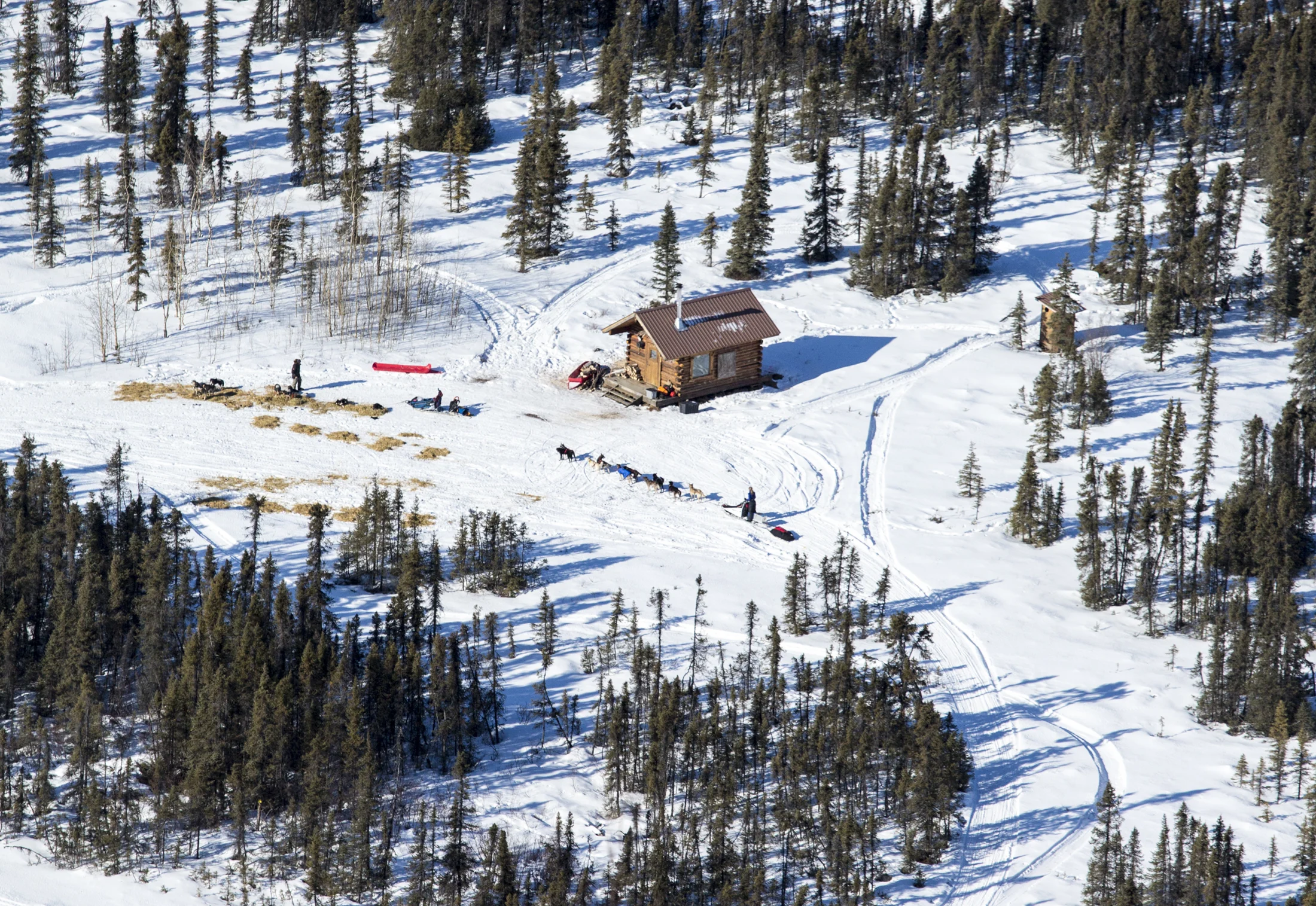 OLD WOMAN SHELTER CABIN / BOB WICK, BLM · CC BY 2.0
The connection
to the coast.
The Kaltag Portage connects the Yukon River country with the Unalakleet River and Norton Sound. It has long served travel and trade between the interior and the coast.
A small cabin.
A big difference.
Along remote winter routes, shelter cabins provide a place to pause and share space. Old Woman Cabin is part of that continuing story of travel and care.
Discover the story of the shelter cabins ↗Cabin access and conditions require current local guidance. This historic introduction does not describe present availability.
THE COAST
OPENS
THE STORY.
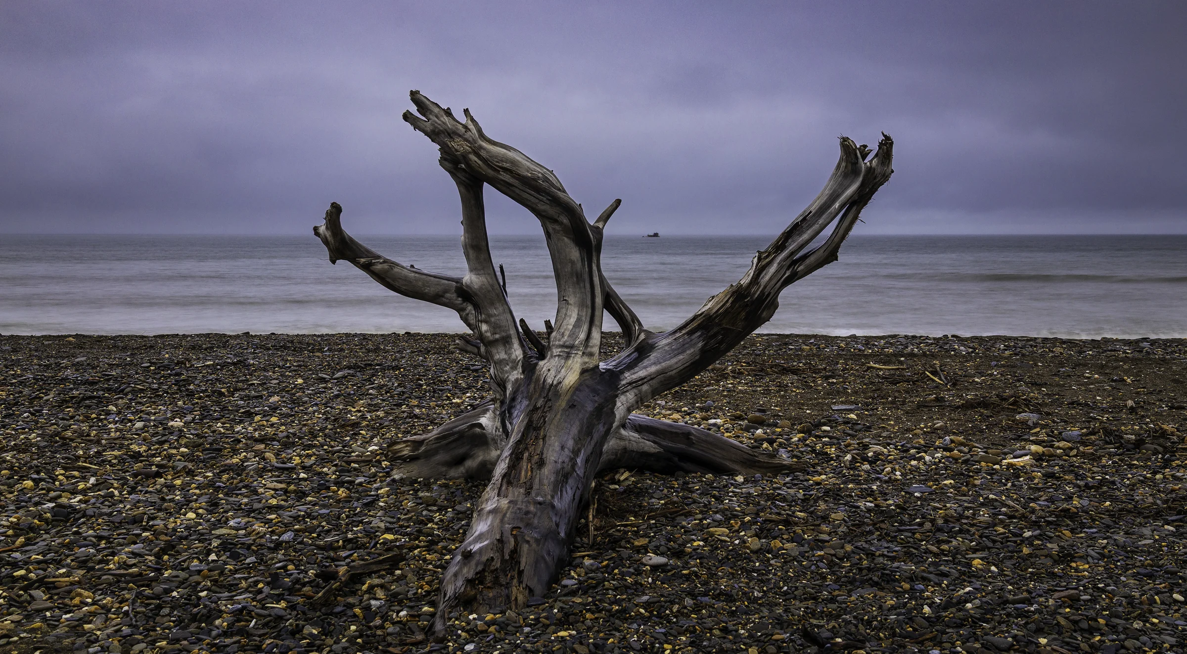
At Unalakleet, the trail reaches Norton Sound. From river communities to coastal roadhouses, the connections carry on towards Nome.
Meet the places along the coast ↓NOT THE END OF THE STORY.
Every stop
holds a story.
Long before the gold rush, Alaska Native communities travelled and traded through this country. Follow the places that keep those connections visible.
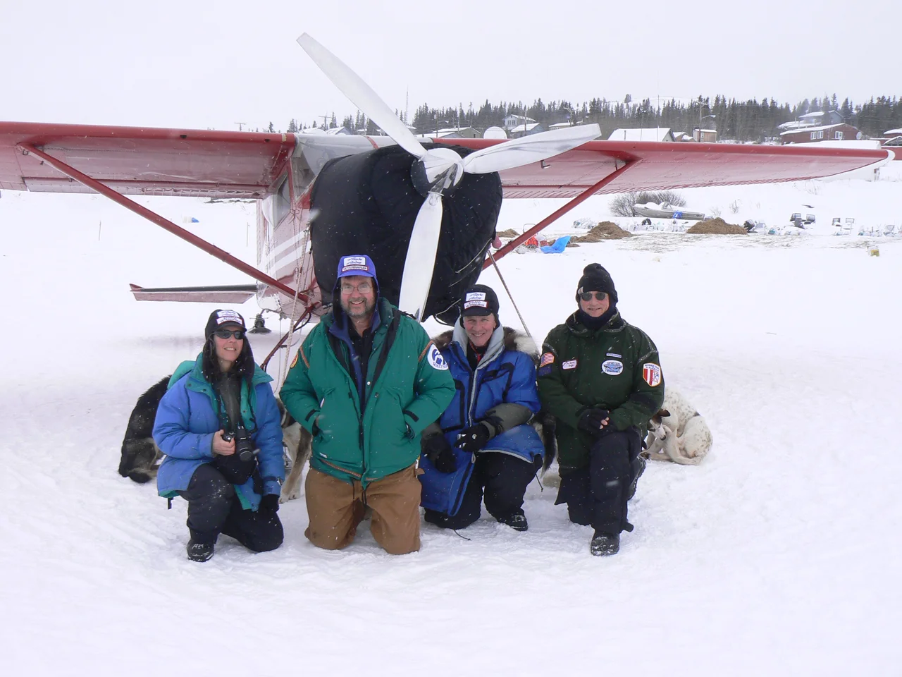 01 / FISH RIVER
White Mountain
A river community inland from the sea. Meet another part of the trail’s coastal chapter.
CHECKPOINT TEAM / 2008 / GLENN CANTORFind it on the map ↗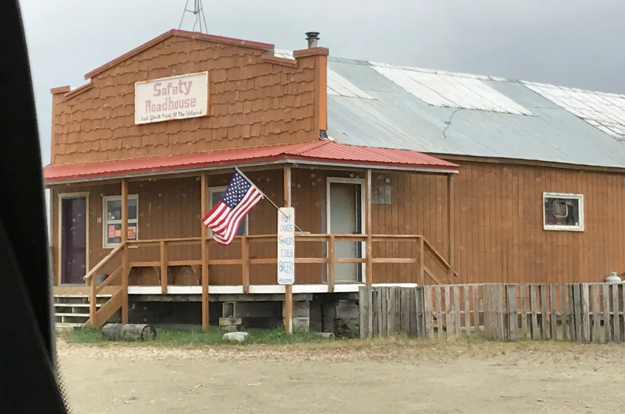 02 / SAFETY SOUND
Safety Roadhouse
A landmark beside the sound, on the coastal approach to Nome.
JUNE 2022 / LAURA ERICKSONFind it on the map ↗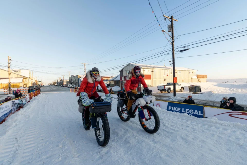 03 / THE NORTHERN TERMINUS
Nome
The northern terminus, photographed during the 2024 Iditarod Trail Invitational.
2024 / NELSON BROWN / TREKFind it on the map ↗WHERE WILL
CURIOSITY
TAKE YOU?
A place to visit. A story to uncover.
A way to be part of the trail.
RALPH RADFORD / USFS ALASKA REGION
WORTH
KEEPING.
Real guides. Stories from the Alliance.
A place to keep looking.
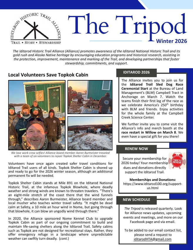
The work behind
the winter trail.
Read the issue ↗
Another season.
Another chapter.
Read the issue ↗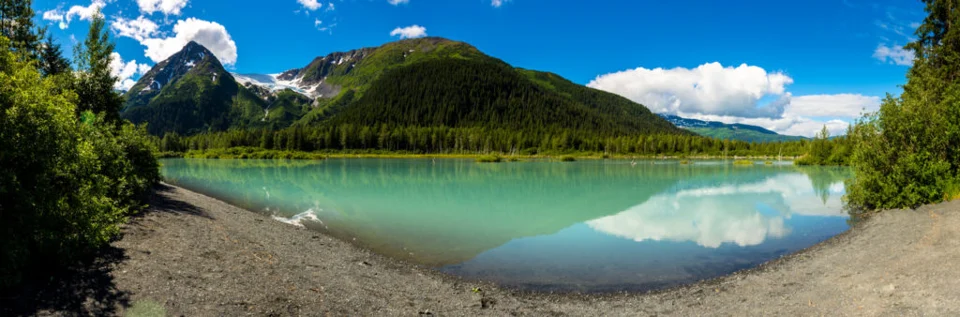 SUMMER TRAIL PHOTOGRAPHY / JACOB TORRES, 2018
OPEN THE
FIELD LIBRARY.
Search trail guides, newsletters and learning resources. Save a reading list on this device.
Browse all resources ↗
THE TRAIL
GOES ON.
BE PART OF IT.
Help carry its stories, knowledge and connections into the next chapter.
Keep the trail’s story going ↗