ALASKA / SEWARD TO NOME15PLACES. COUNTLESS CONNECTIONS.HISTORY IN THE LANDSCAPE
FIND A PLACE IN THE STORY
15 historic profiles
01
SOUTHERN GATEWAY
Seward
Founded as a railroad port in 1903, Seward became the winter gateway for the Iditarod mining district. People, mail, supplies and gold travelled between Resurrection Bay and the interior. The national historic trail begins at Mile Zero on the waterfront.
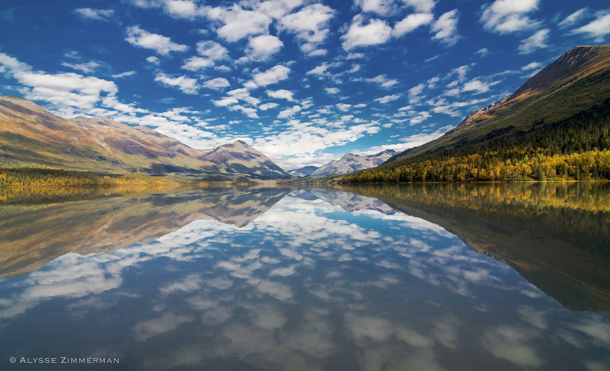
Upper Trail Lake, Moose Pass · V. Alysse Zimmerman. Photo source ↗
Named as a railroad station in 1912, Moose Pass gained a post office in 1928. The Alliance recounts a local naming story involving a mail carrier’s dog team and a moose reluctant to yield the trail.
Originally called Glacier City, Girdwood served mining and railroad activity. Crow Creek linked the community with its mining history. After the 1964 earthquake damaged the original townsite, relocation began in 1965.
The Eagle River, Peters Creek and Eklutna Lake country formed part of the hunting and fishing landscape of Athabascan communities. The Alliance’s account describes these connections before later railroad and settlement changes.
At the head of Knik Arm, Eklutna has a long Athabascan history. Its story includes Russian Orthodox influence, distinctive spirit houses and the arrival of a railroad station in 1918.
Knik was an established Native village before its gold-rush growth. The Alliance records it in the 1880 census and describes its expansion between 1898 and 1916, including construction of Palmer’s Store in 1903.
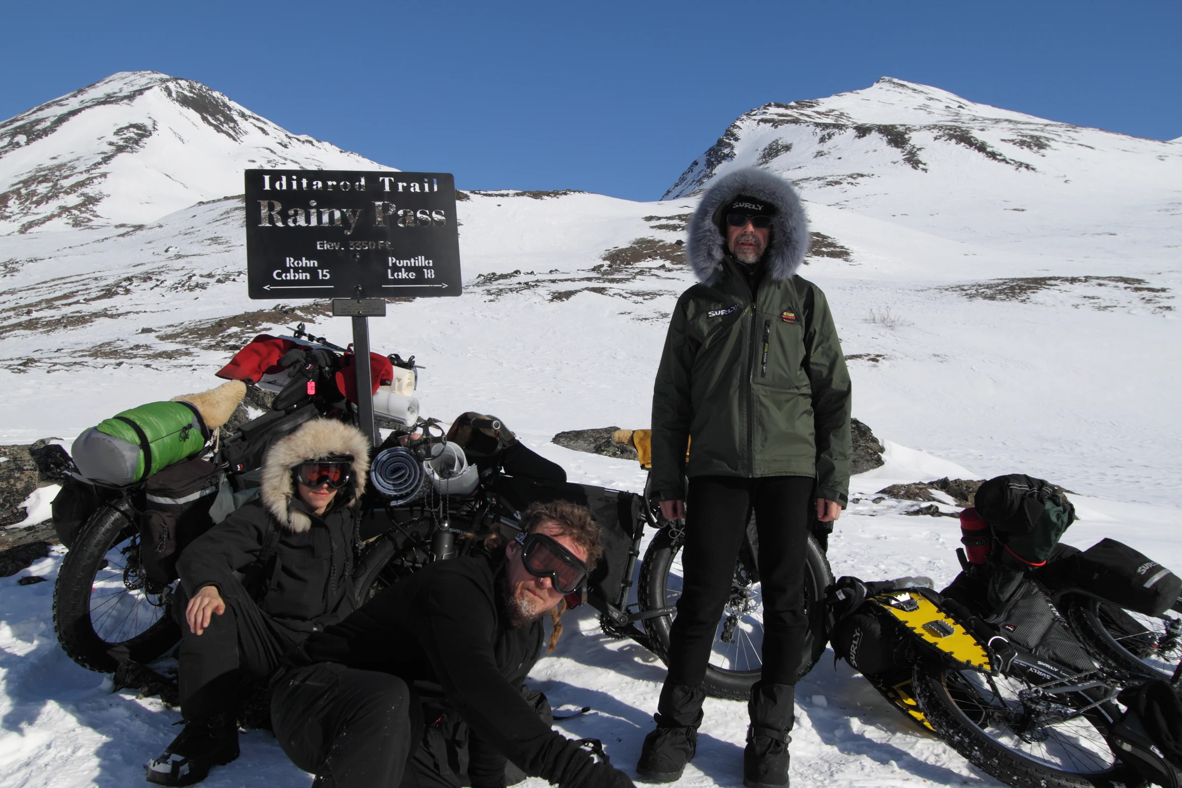
Rainy Pass summit, Alaska Range · Bjørn Olson / Ground Truth Trekking. Photo source ↗
The historic Susitna–Rainy Pass winter route followed the Yentna and Skwentna country before turning along Happy River. The Alaska Road Commission maintained this dog-team route after its use for mail ended, supporting access to prospective mines.
Established in 1903 on the Fairbanks–Nenana–Nome mail route, Tolovana Roadhouse became a transfer point during the 1925 serum relay. Its restoration was followed by National Register recognition in 1989.
Takotna developed as a river supply point in 1908, at the limit reached by Arthur Berry’s small sternwheeler. Stores supplied miners in the Innoko region. Road, airfield and radio connections later broadened its role.
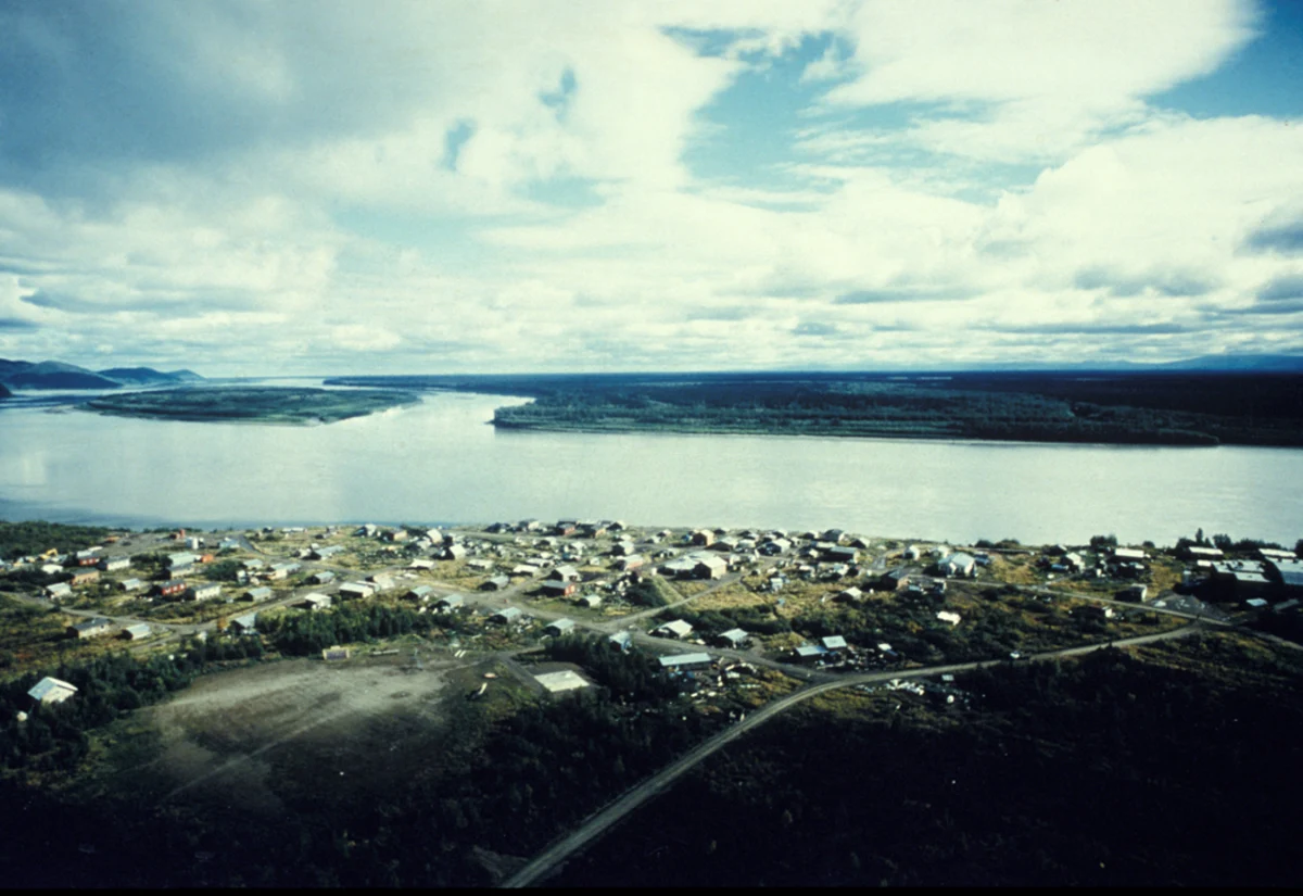
Kaltag village and the Yukon River · archival photograph · Polly Wheeler / USFWS. Photo source ↗
In Koyukon Athabascan country, Kaltag is tied to the portage between the Yukon River and Unalakleet. The Alliance recounts seasonal camps, devastating epidemics and the regrouping of families from nearby villages around the turn of the twentieth century.
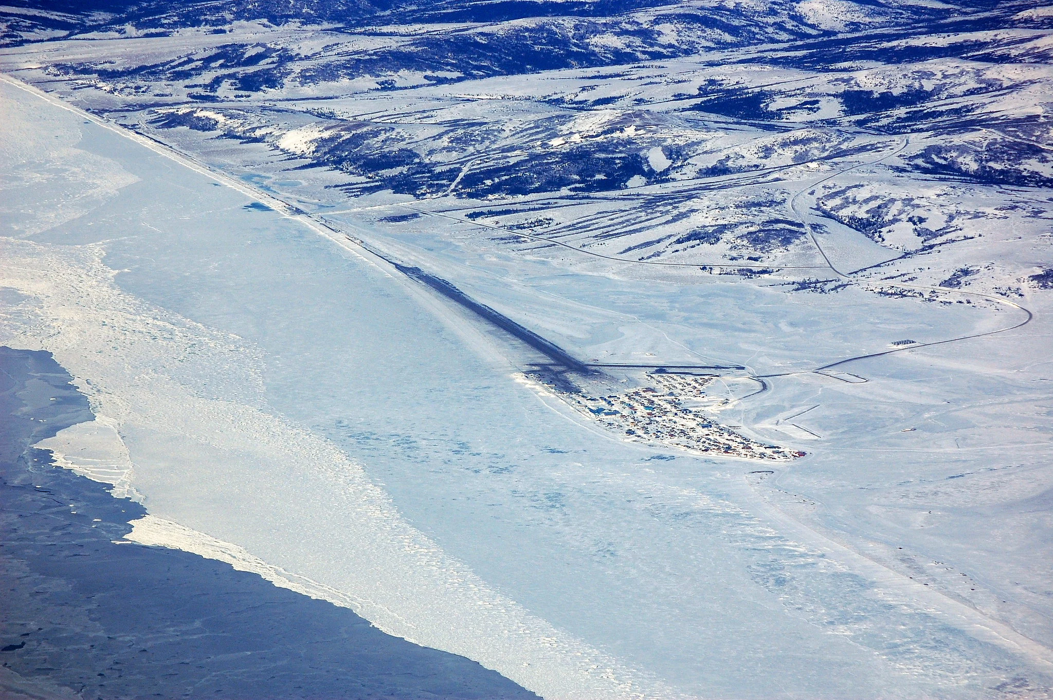
Unalakleet from the air · March 2009 · AkPilot. Photo source ↗
Unalakleet has long connected coastal trade with the Yukon through the Kaltag Portage. Archaeological house remains reflect a much older history than the trading post built by the Russian-American Company in the 1830s.
An established Native community preceded Golovin’s role supplying the Council gold fields. A trading post became a centre for prospecting information, and a post office opened in 1899.
The Solomon River area drew mining traffic during the 1899–1900 rush and became the terminus of a narrow-gauge railroad. Storms and influenza brought major disruption; the community moved to its later site in 1939.
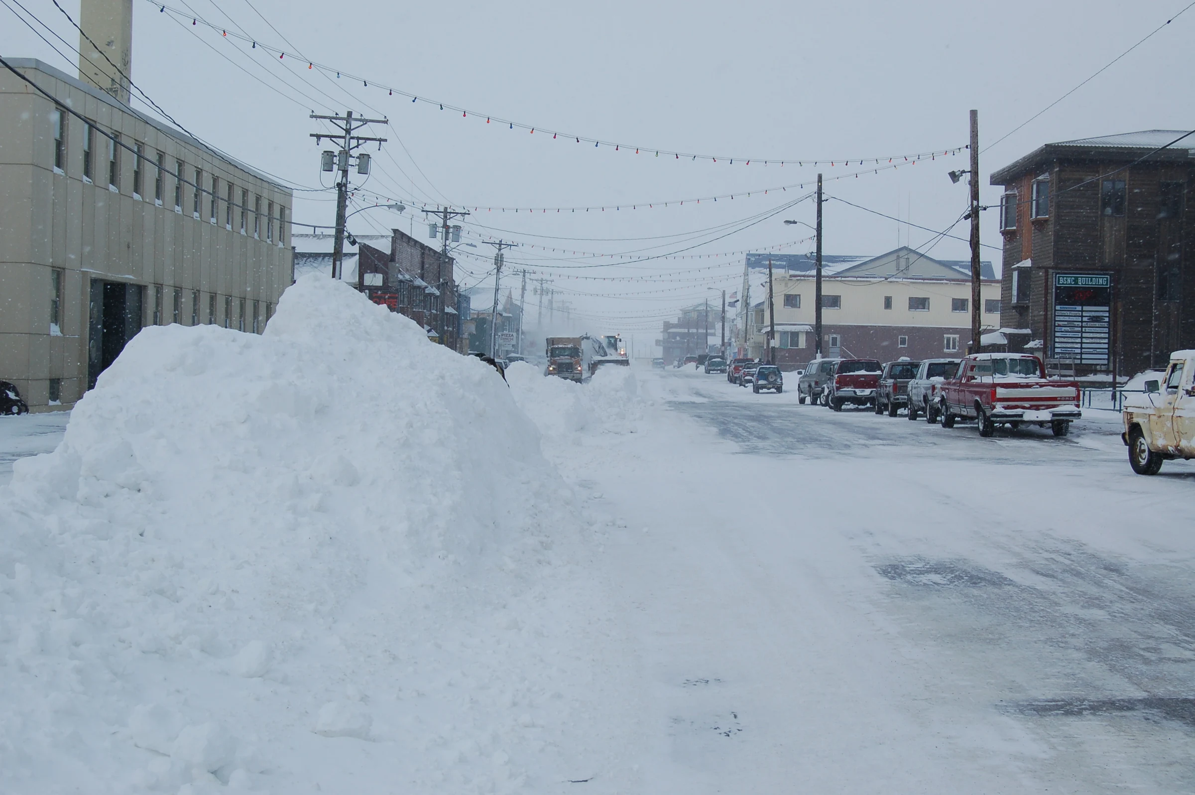
The Seward Peninsula’s Indigenous history long predates Nome’s 1898 Anvil Creek gold strike. Creek and beach discoveries brought a rapid influx of prospectors. Mining changes, influenza, fire and war shaped the town that followed.
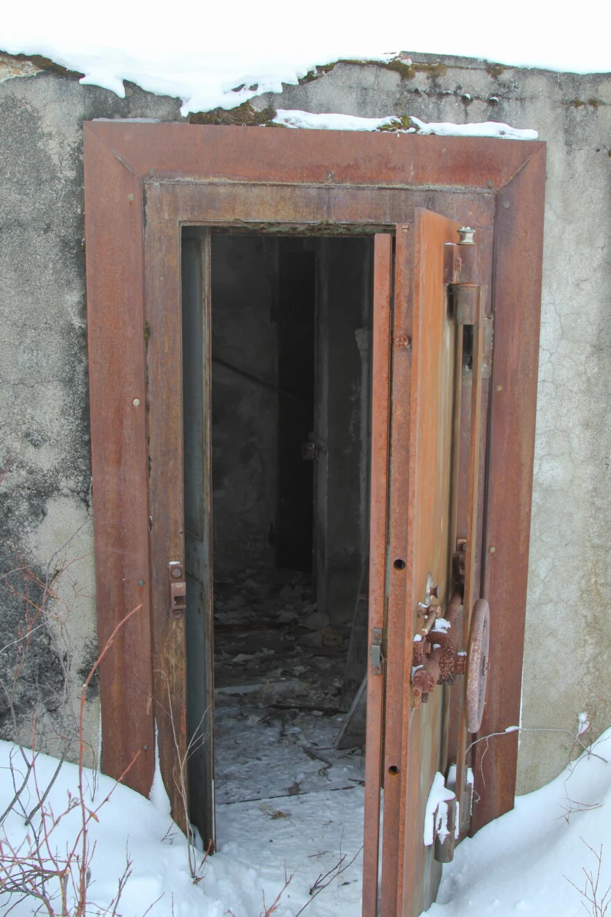
Bank vault at Iditarod · March 2018 · Zachariah Hughes / Alaska Public Media. Photo source ↗
A surviving bank vault is one visible trace of the former gold-rush town. Alaska Public Media documented the vault, remaining buildings and race checkpoint in March 2018. The doorway offers a close look at one of the townsite’s surviving landmarks.
The original directory also lists Skwentna and Galena. Their source pages currently contain no historical copy. Find those entries in the original settlement directory ↗.